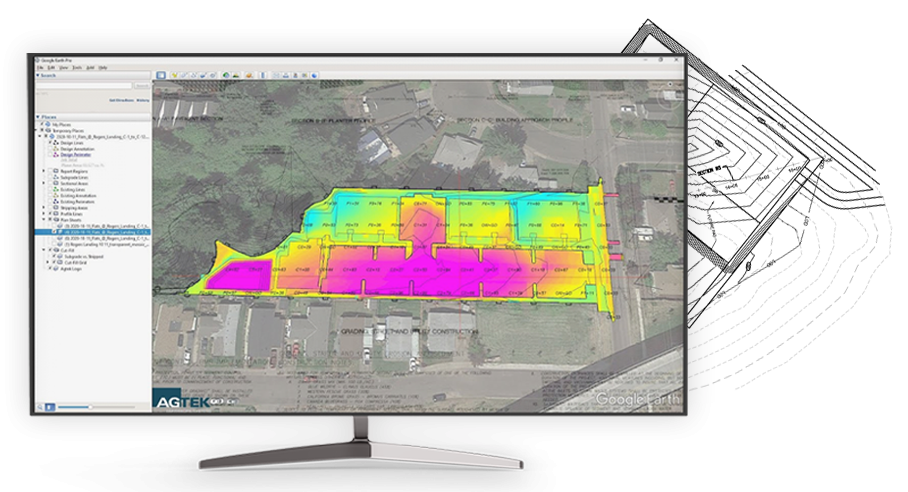
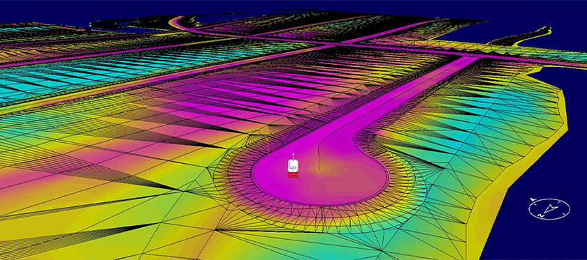
GPS MODELING

GPS Modeling

Section 31’s GPS modeling service is the cornerstone of its innovative approach to construction and excavation projects. Section 31 crafts highly detailed grade models that serve as invaluable tools for project planning and execution. These models provide comprehensive implementation of proposed grading surfaces and potential obstacles, empowering onsite crews to make informed decisions and optimize their workflows. Whether it’s a small retail facility, large commercial project, fracking pond, single family subdivision or multifamily development. Section 31 can tailor the GPS model to suit the specific needs of each client.

Modeling Software

Section 31’s modeling software stands as a beacon of reliability and versatility in the construction industry, proudly certified by AGTEK, a trusted authority in construction software standards. This certification not only signifies the software’s adherence to industry best practices but also underscores its commitment to delivering exceptional quality and performance to clients.
Section 31 can generate machine control models for all makes of equipment; Including Trimble, Topcon & Leica ensuring CAD software compatibility, Section 31 ensures seamless data exchange and interoperability across different platforms.
Furthermore, Section 31’s modeling software supports a plethora of formats, including XML, LN3, TN3; including KMZ files providing clients with flexibility and convenience in accessing and utilizing their project data by being able to visualize their proposed project on Google Earth during bidding, planning and execution of onsite work. This extensive format support enables construction teams to leverage their preferred tools and workflows, maximizing efficiency and productivity throughout the project lifecycle.